Inypsa

Otros

Consulting

Territorial planning
Renewable energy
Energy efficiency

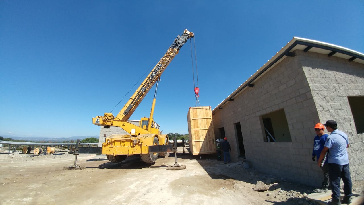
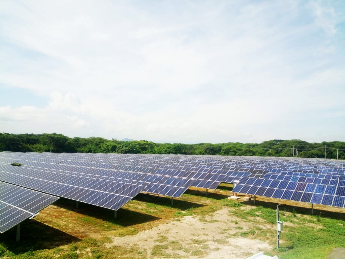
6.3 MW PV PLANT IN SAN LUIS TALPA.

EL SALVADOR

Installing a photovoltaic plant with an installed power of 6,318,000 Wp, comprising photovoltaic modules on single-axis solar trackers. It is estimated that it will generate 13,000 MWh/year of power with 46 kV mains supply voltage.

The solar plant will comprise 19,440 photovoltaic modules producing 325 Wp, featuring polycrystalline technology, mounted on a metal frame with a horizontal single-axis solar tracking system with N-S rotation.

The photovoltaic modules will be fitted vertically in two rows of 30 serially-connected modules, which will be mounted on 216 trackers, each consisting of 90 modules.

The transformation from direct current (DC) to alternating current (AC) will be conducted through three inverter units, each with an estimated power of 1.52 MW. These inverters will be connected to 2 current transformers of 1.52 and 3.5 MVA, and with a transformation ratio of 650/20,000 V.

GUIDING REGIONAL ENTITIES THROUGH THE MODERN POT/POD PROGRAM PROCESS.

COLOMBIA

The consulting services are provided in the country’s CENTRAL NORTH EAST area, distributed and demarcated through the analysis and criteria already established. A Territorial Planning Scheme (EOT), a Basic Territorial Planning Program (PBOT), a Territorial Planning Program (POT) and a Departmental Territorial Plan (POD) are developed in each area. Territorial planning instruments are categorized according to population size and the level of urbanization or rurality of each municipality.

RESTORING HOUSING AND REDEVELOPING PUBLIC SPACES IN BARRIO DEL CARMEN, ALICANTE.

SPAIN

Drawing up the project for building and housing restoration works and redevelopment of public spaces in Barrio del Carmen, Alicante.

And subsequently, works management, works material completion management, health and safety coordination and any documentation that is required to restore common areas and redevelop the free spaces of the group of 802 public development houses in 037069 “Barrio del Carmen”, located in Alicante, declared an Area of Urban Regeneration and Renewal (ARRU).

Barrio del Carmen is located in the north of the city of Alicante. It is divided into two areas: the first comprising seven blocks, between Calle Senador Roque Calpena Giménez to the north, Calle Diputado Joaquín Galant Ruíz to the east, Calle José Luis Barceló to the south and Avenida Pintor Gastón Castelló to the west. The second area is the block corresponding to Calle Alonso Cano 82, between Avenida Antonio Ramos Carratalá to the north and Calle Diputado Luis Jiménez Morell to the south.

The first seven blocks consist of 22 apartment buildings, of which 17 are four-story buildings, 3 are seven-story and 2 are ten-story. There are a total of 78 vestibules. The block located on Calle Alonso Cano consists of five buildings of between three and eight floors and a total of 8 vestibules.

The buildings were constructed between 1994 and 1999.

PRE-CONSTRUCTION PROGRAM OF THE PUERTO CHIQUITO HOUSING DEVELOPMENT IN THE MUNICIPALITY OF SOSUA.

DOMINICAN REPUBLIC

The services are undertaken in the initial basic stage of pre-construction, with the development of the necessary preliminary works and the drafting of the modified ones in the existing projects in order to proceed with the partial urban development of Avenida de la Cañada and the end of Avenida del Arroyo.

The work is conducted in two distinct phases:

  • Definition and preliminary works phase.
    • Analysis of initial conditions, qualitative and quantitative reports: cost/time/feasibility, visits, comparison studies, information, technical design and construction criteria.
  • Development phase.
    • Programs, contractual documentation of preliminary actions, guidance and drafting of projects, general coordination, deadlines, costs, feasibility, and suitability.
    • Projects necessary for the basic urban development of the area.

PLANNING AND MANAGEMENT PROGRAM FOR THE CANAL DEL DIQUE WATERSHED.

COLOMBIA

Incorporation of the risk management component as an environmental determining factor of territorial management in the processes of preparing and/or updating planning and management programs for watersheds affected by the 2010–2011 La Niña phenomenon.

The studies carried out cover the following disciplines: Basic classification of the basin, classification of the physical-biotic environment, climate, geology, hydrogeology, hydrography, morphometry, slopes, hydrology, water quality, geomorphology, land coverage and use, strategic ecosystems, vegetation, flora and fauna.

The basin subject to this study is the Canal del Dique basin (440,469 ha).

TERRITORIAL DEVELOPMENT PLAN OF THE SAN MIGUEL SUBREGION.

EL SALVADOR.

Drafting a territorial planning instrument with a 2024 time horizon, integrating regional and local development proposals, with the opportunities and problem areas of each of the municipalities in the region, in order to achieve feasible and viable proposals that contribute to improving the economic, social, and environmental conditions and quality of life of its inhabitants, providing social actors with an instrument that allows them to efficiently manage their local development.

  • Updating the existing technical instruments and developing new ones, which serve as a guide for territorial planning (including urban and rural areas within the territory), and which serve as a guide for territorial management of the municipalities of the San Miguel region.
  • Generating a Project Bank with prioritization criteria based on regional development strategies.
  • Reviewing and updating existing legal–regulatory instruments with a proposal for an executive decree to regulate the territory, through technical and legal directives and regulations.
  • Strengthening the institutional framework necessary in order to implement the plan.
  • Taking advantage of the existing synergies of COMURES, local governments, NGOs, private enterprise, the Ministry of Agriculture and Livestock, the Ministry of Environment and Natural Resources, the Ministry of Public Works, Transportation, Housing and Urban Development, and international cooperating agencies.

FINAL DESIGN FOR THE PROJECT: CONSTRUCTION OF THE SEAFRONT PROMENADE IN THE COASTAL CITY OF LA UNIÓN.

EL SALVADOR.

Through the design project of the seafront promenade and leisure areas opposite the beach of the city of La Unión, the Social Investment Funds for Local Development (FIDSL) seeks a solution that drives local development, that acts as a trigger for new works in the area and fosters the best quality of life for the city’s inhabitants. The seafront promenade is considered an urban-architectural work that strengthens the process of the likes of environmental, economic, cultural and recreational recovery activities, and serves to benefit the city. Such investments and procedures are justified in many fields.

The works will be conducted in two stages: a STUDY PHASE, which concludes with the proposal of three alternatives and a diagnosis of the current situation; and a DESIGN PHASE that develops the chosen design alternative and drafts its final project.

  • Surface area: 111,285 m2.
  • Length of the seafront promenade: 865 m