GEOLOGICAL, GEOTECHNICAL AND HYDROGEOLOGICAL INVESTIGATION FOR THE CHARACTERIZATION OF THE SITE OF A TEMPORARY WAREHOUSE AT THE VANDELLÓS I NUCLEAR INSTALLATION
Tarragona, Spain. ENRESA-EAI 2023-2024
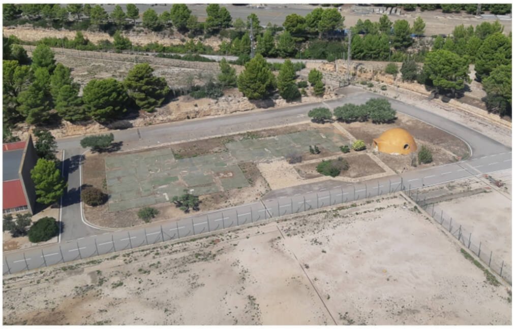
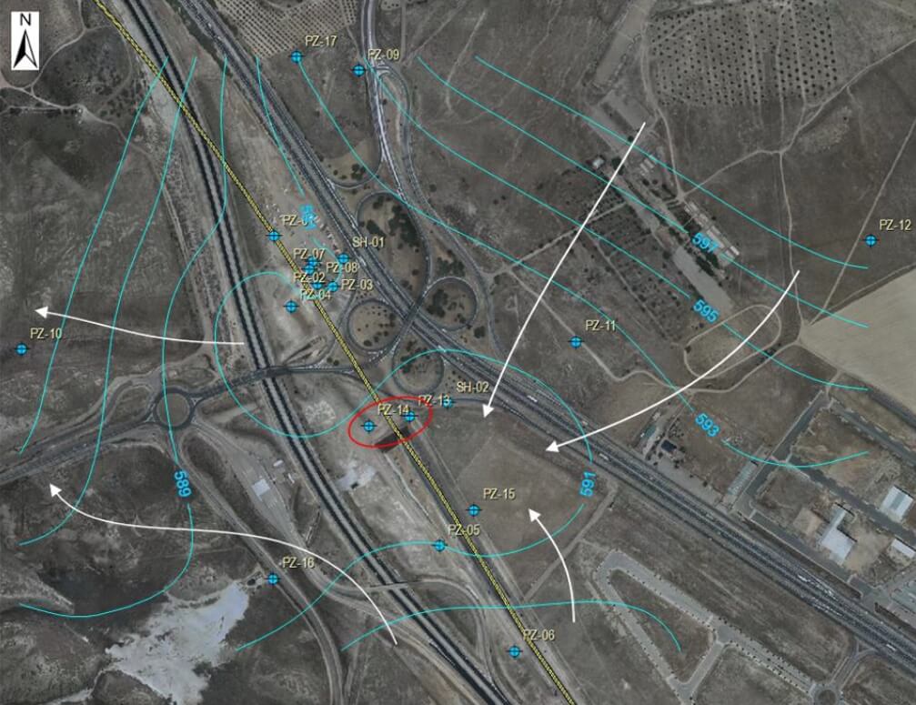
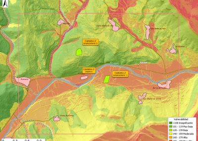
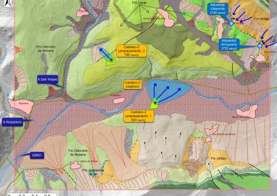
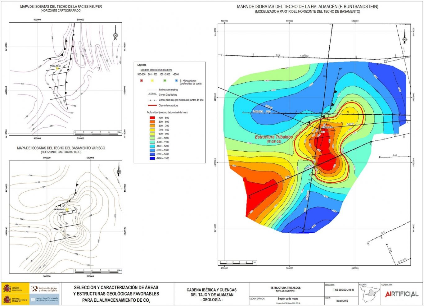
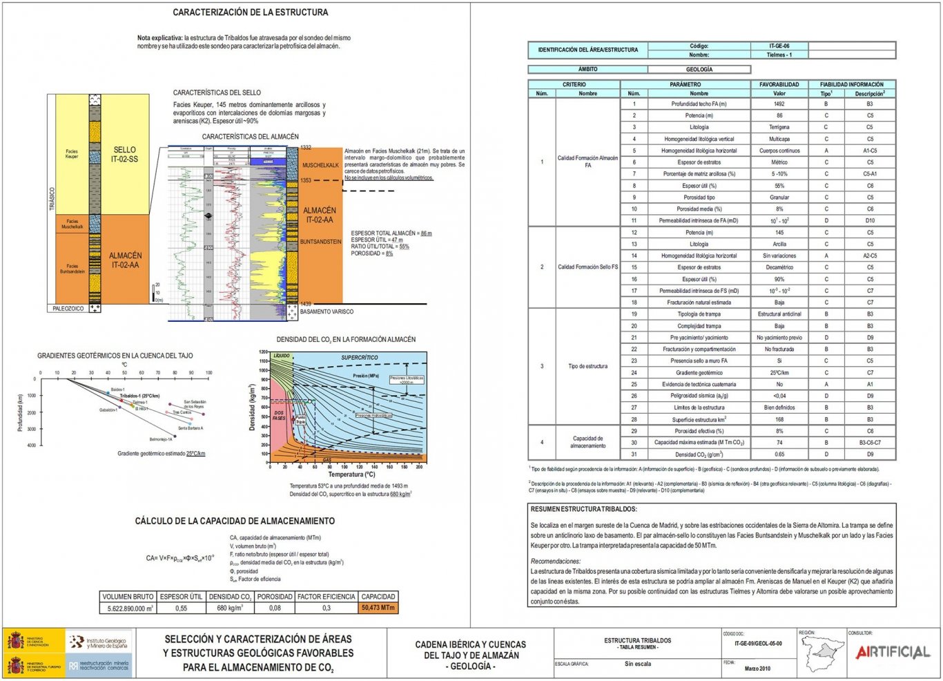
Geological, geotechnical and hydrogeological characterization service (including environmental hydrochemical parameters) of the site of the future temporary storage of nuclear waste of the Vandellós I Nuclear Facility.
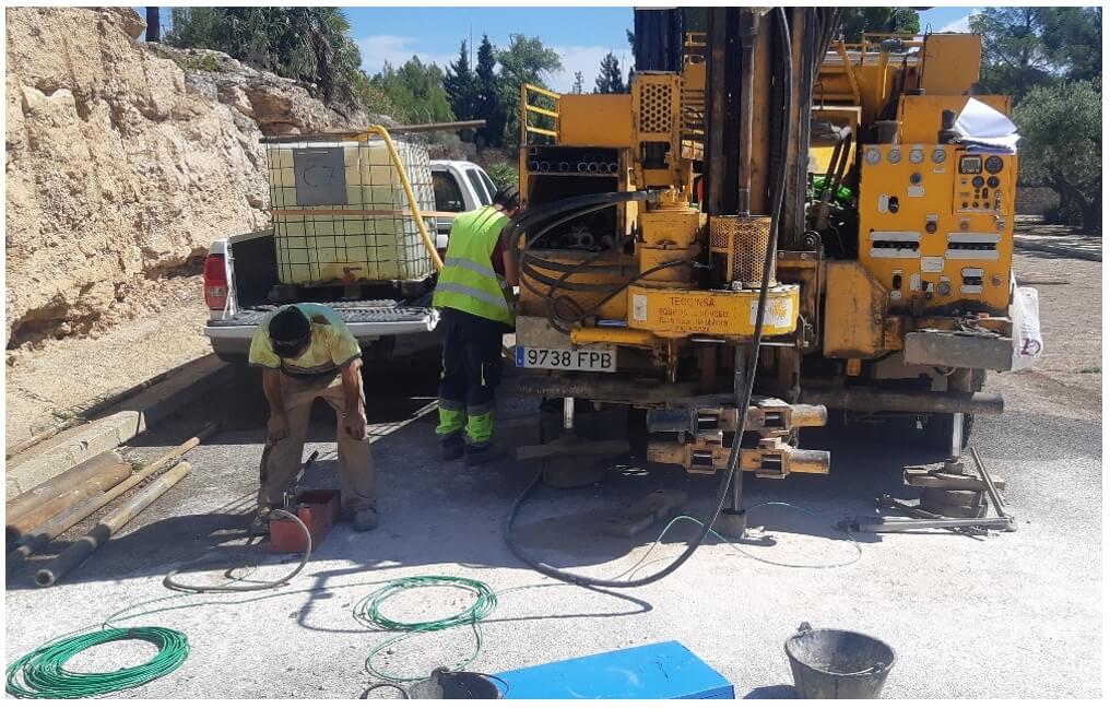
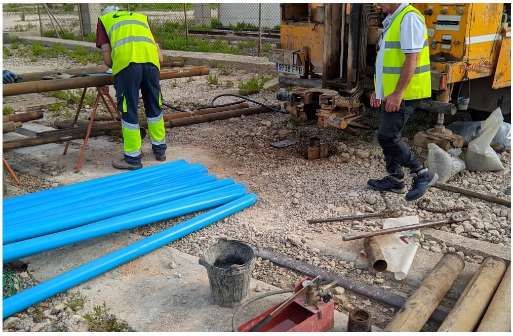
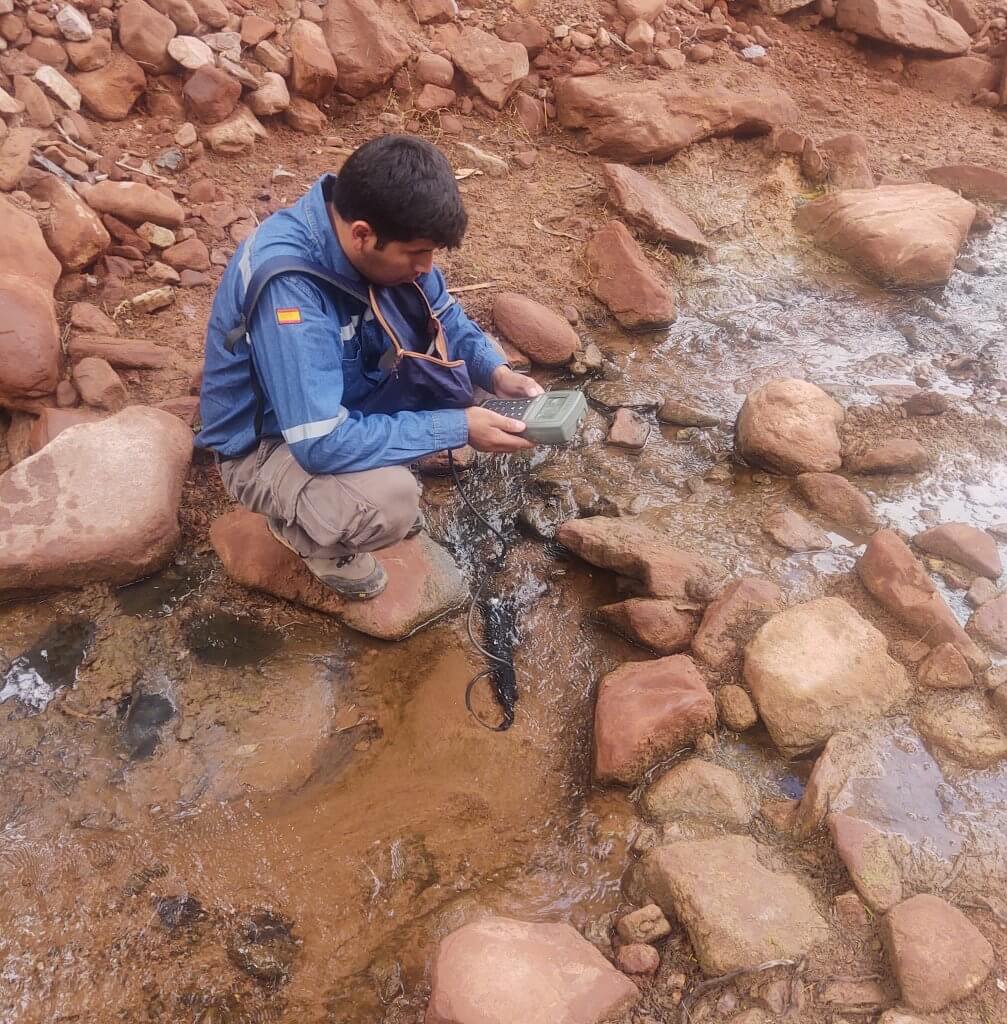
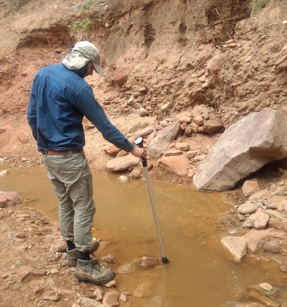
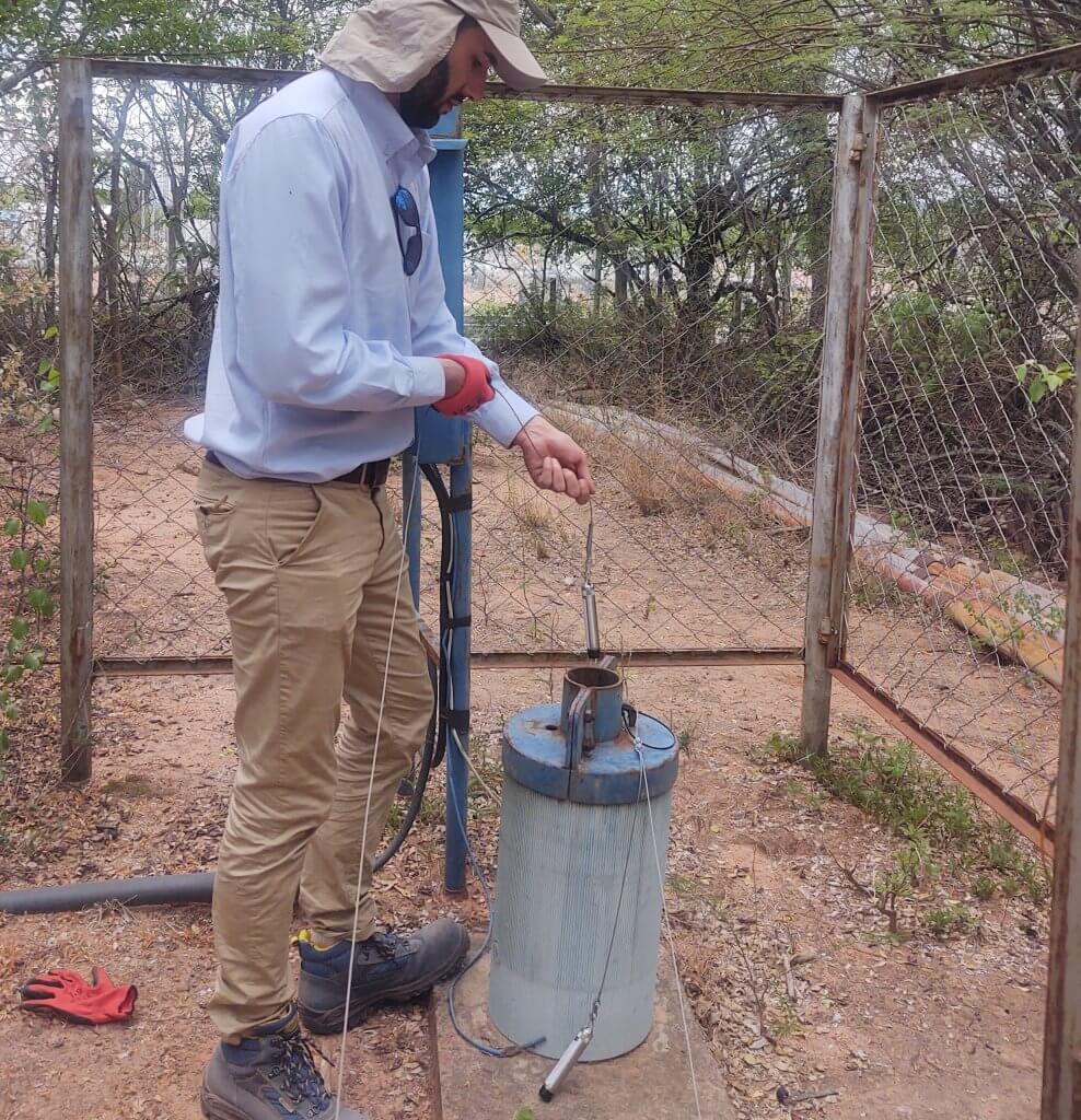
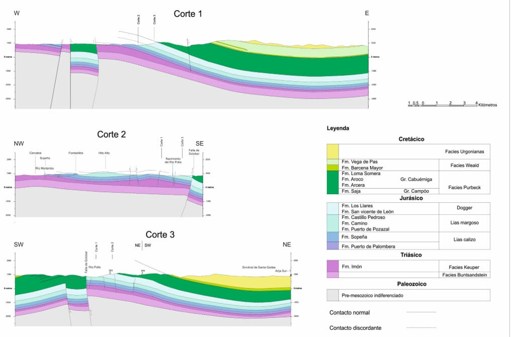
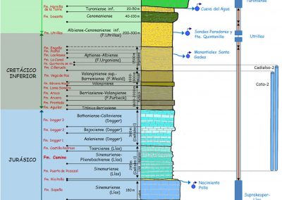
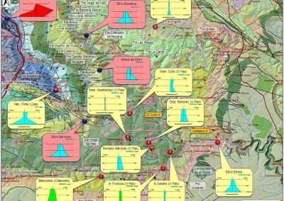
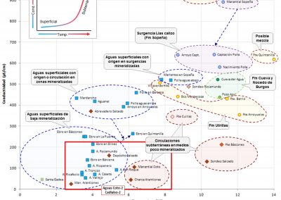
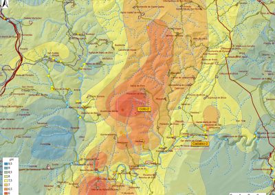
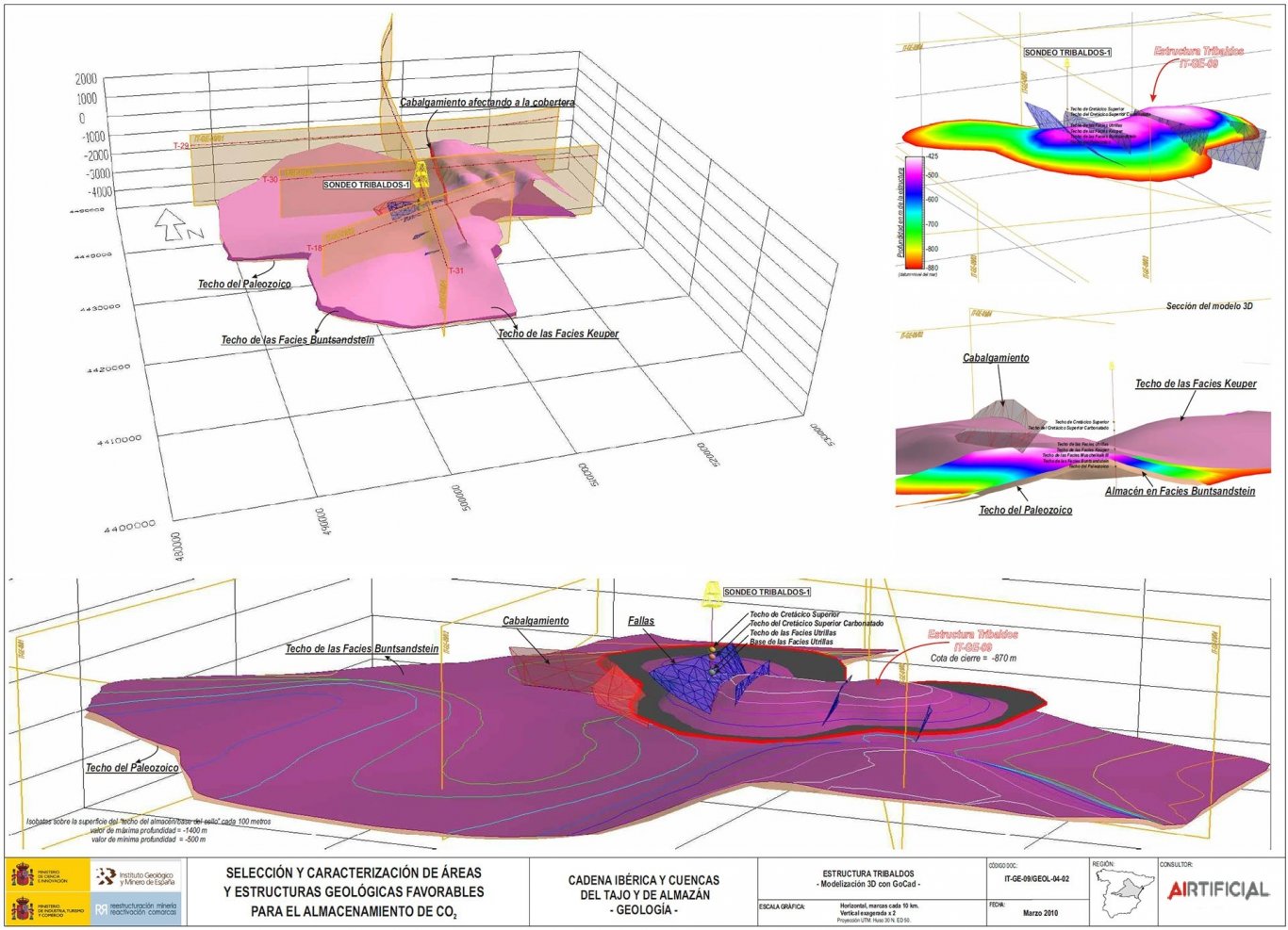
The works include both the performance of field work (geotechnical investigation soundings, piezometers, witnessing, SPT tests, DPSH, etc.) and the interpretation and drafting of geological, geotechnical and hydrogeological characterization reports of the location of the temporary storage facility and its immediate surroundings (local scale).