Water engineering

Water planning

Assessing water balance; demand; operation management models; flood risk evaluations; managing state-owned water resources; monitoring networks.
Developing plans (national plans, watershed plans, master plans)


SUPERVISION OF WORKS OF THE PROJECTS OF THE PROGRAMME FOR THE PROTECTION OF VALLEYS AND RURAL POPULATIONS VULNERABLE TO FLOODING.

DEPARTMENT OF ANCASH- PERU.

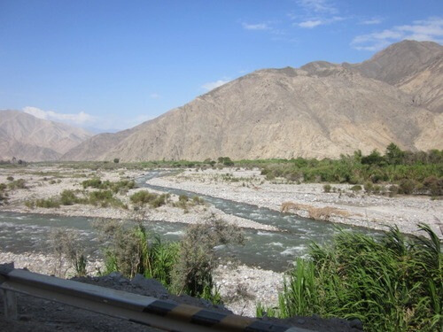
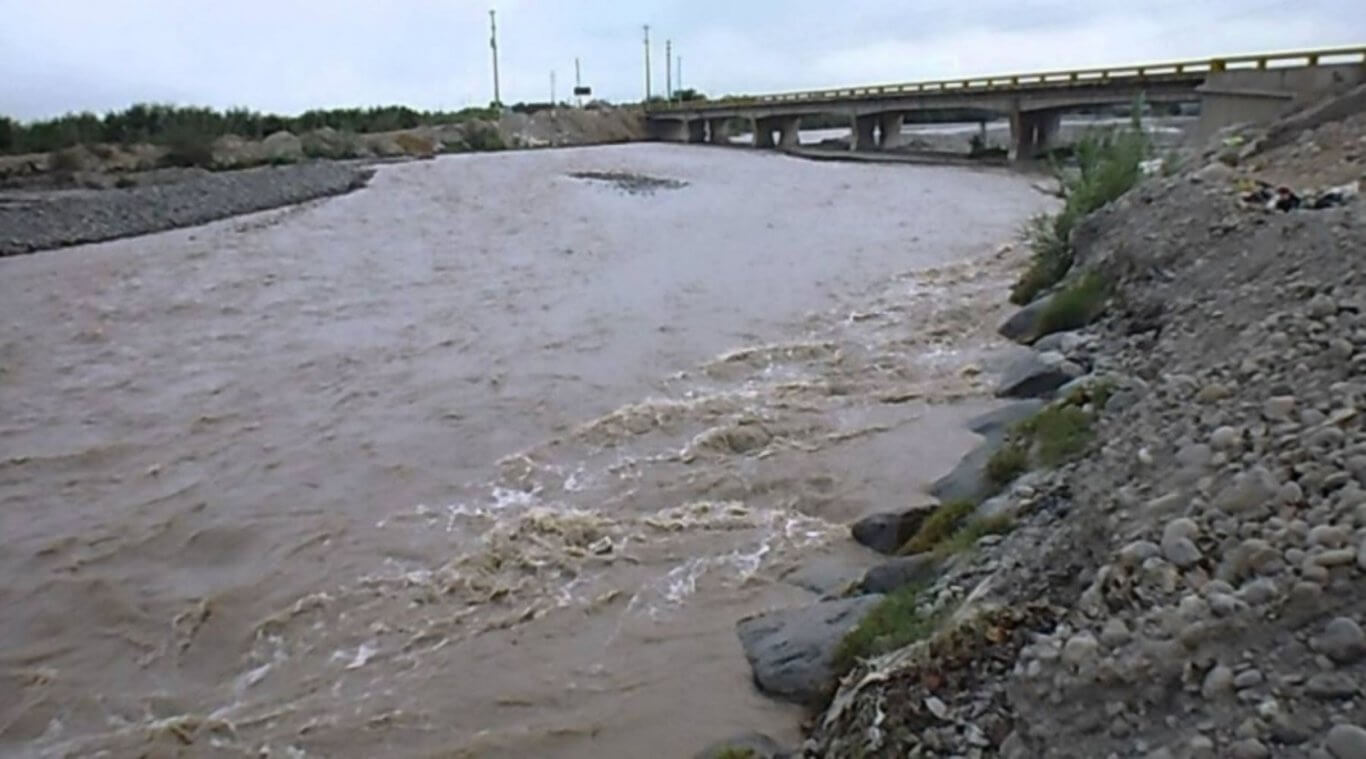
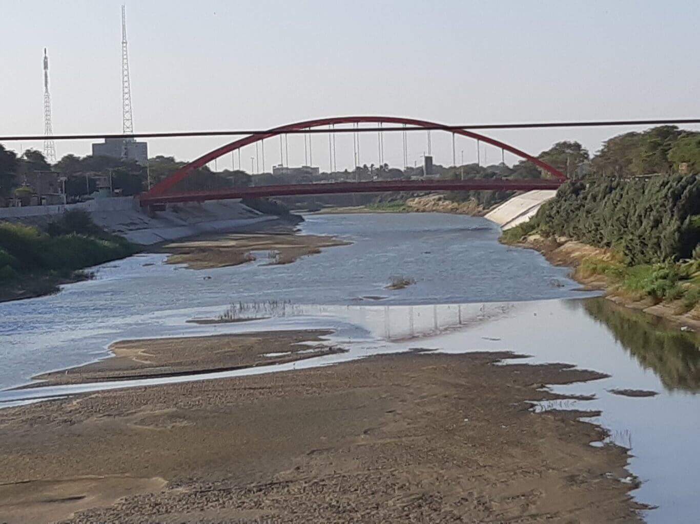
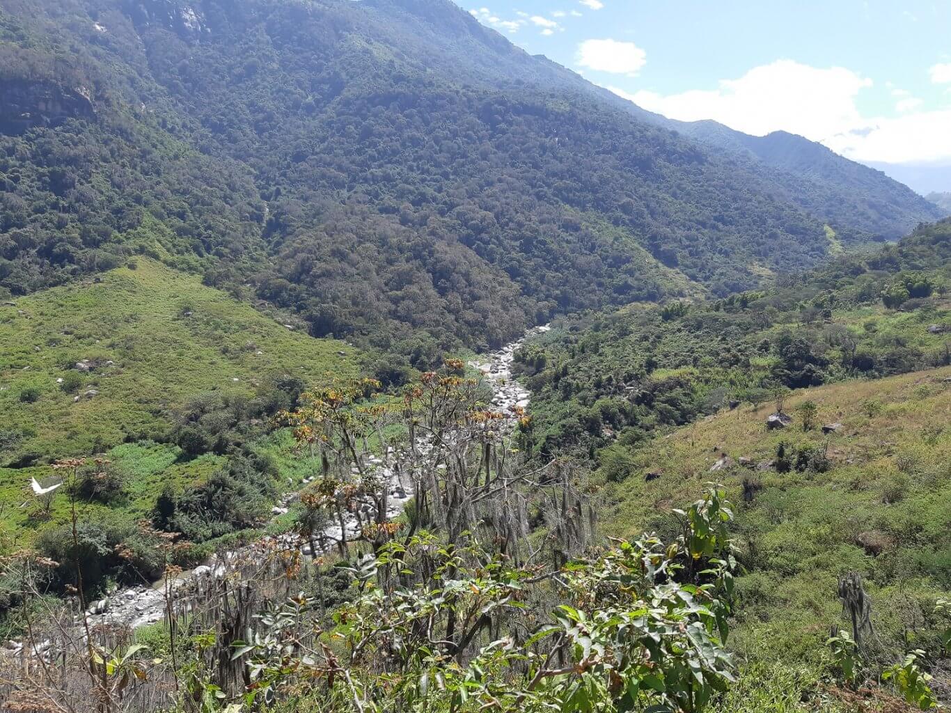
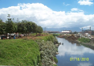
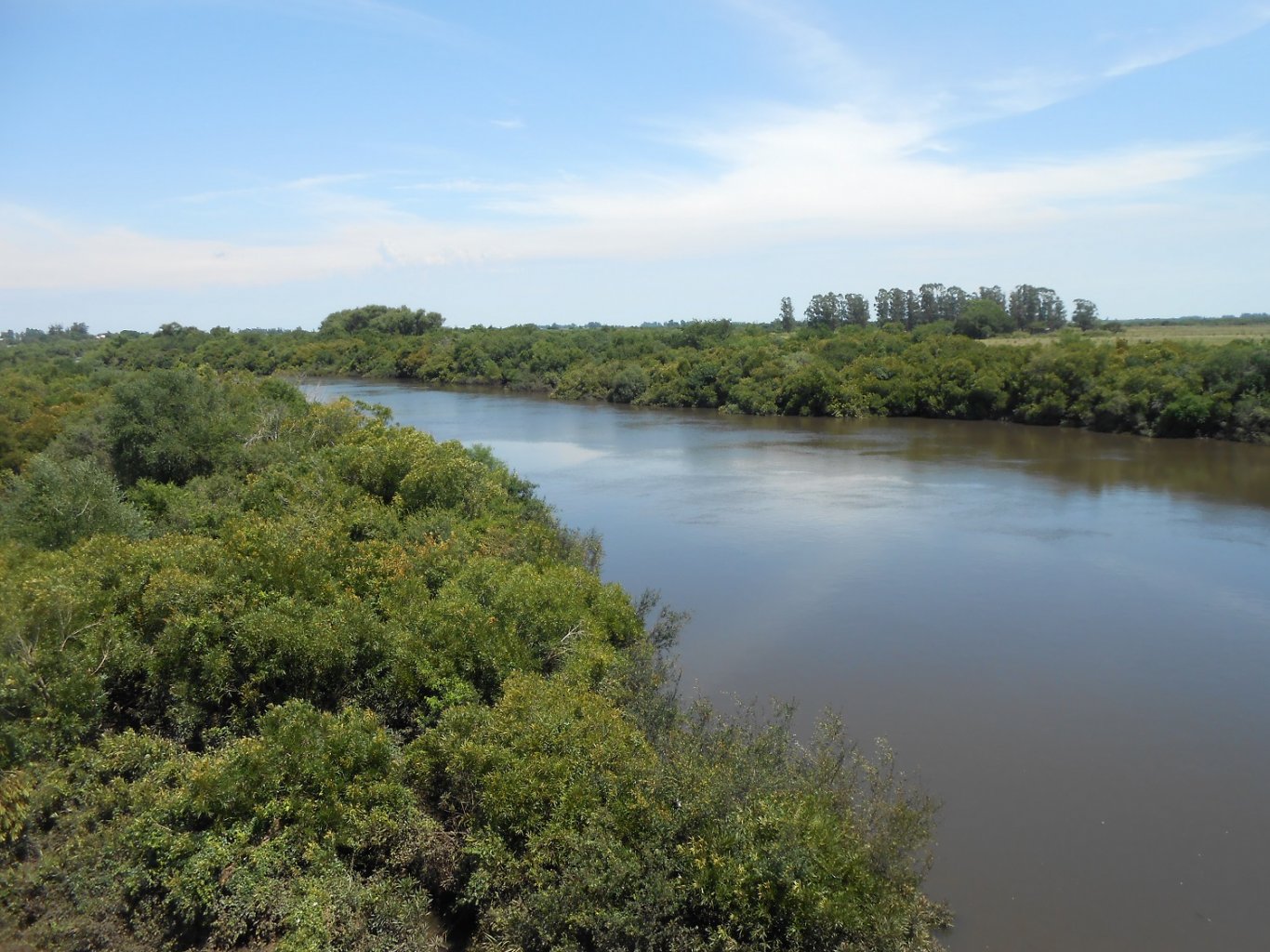
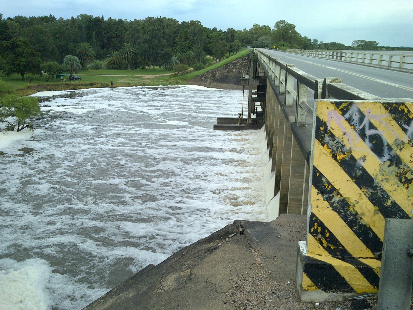
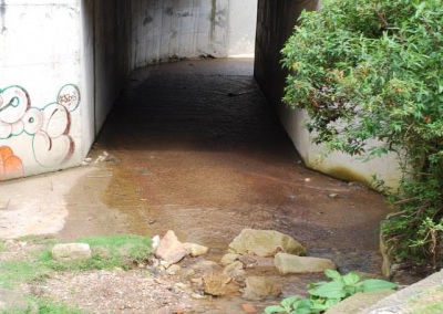
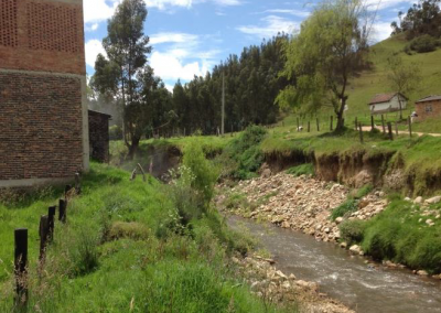
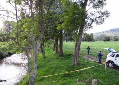
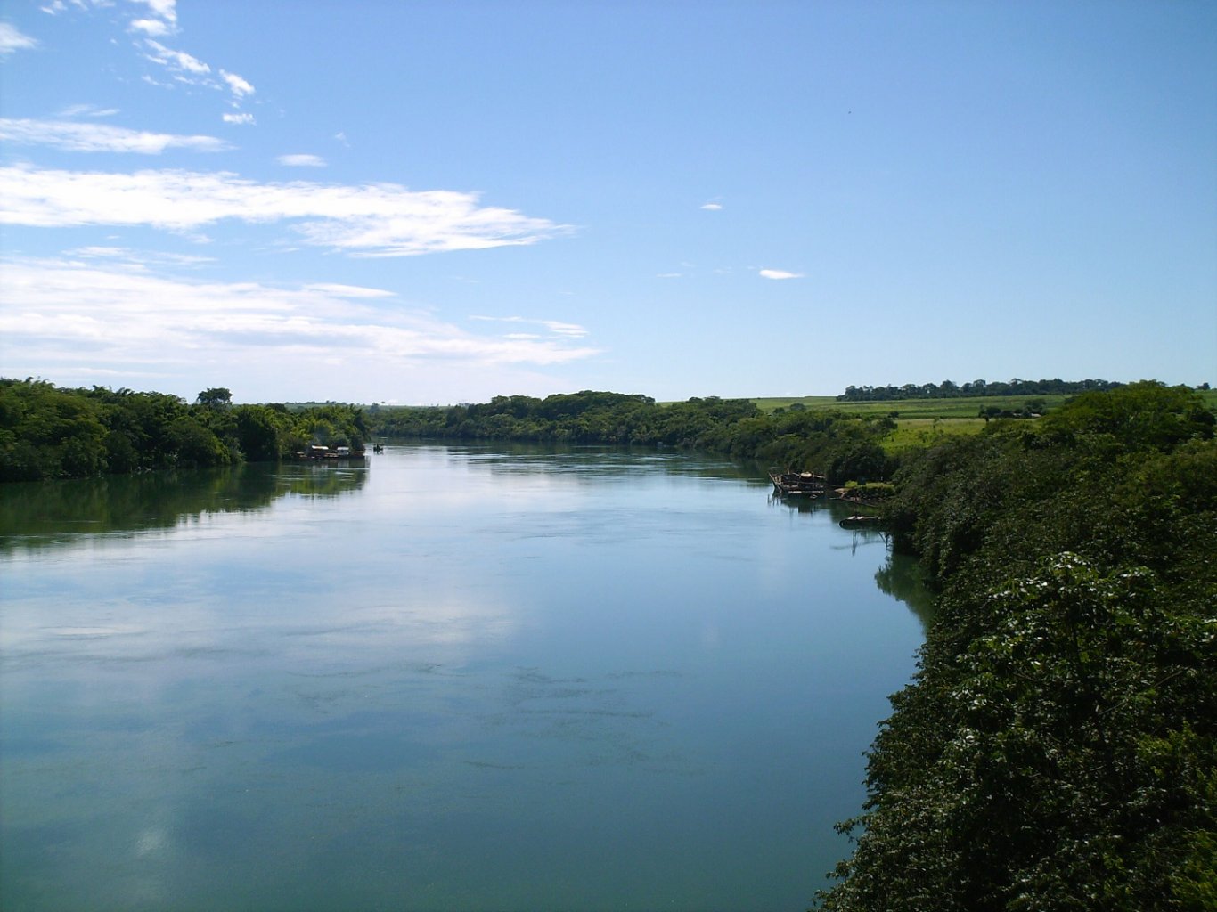
Lessening of the vulnerability to floods of the valleys of Cañete, Pisco, Chincha and rural populations, caused by the overflowing of the Cañete, Pisco, Matagente and Chico rivers.

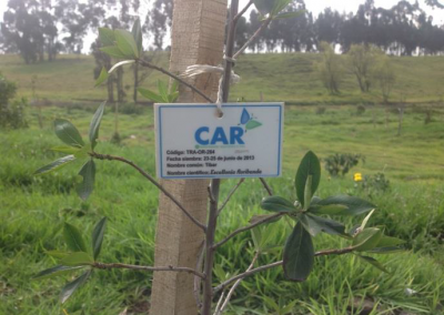
The objective of the programme is to protect 24,655 hectares of low-risk agricultural areas and 8,133 families in the affected valleys from the risk of flooding. Reforestation and recovery is planned for an area of 20.4 hectares where 60,384 seedlings will be planted.

An important part of flood training for the local population is foreseen, with 84 training events scheduled.


INTEGRATED FLOOD AND MASS MOVEMENT CONTROL PLAN FOR THE MALA RIVER BASIN.

DEPARTMENT OF LIMA- PERU.

Creation of an Integral Plan for the Control of Floods and Mass Movements in order to achieve the desired levels of protection and safety by reducing the risk of disasters caused by floods and mass movements in the Mala river basin (Department of Lima).

The Mala river basin is located in the central part of the Pacific hydrographic region. Politically, it belongs to 14 districts, 3 provinces of the Department of Lima. The Mala river basin covers an area of 2,320 km2. The population affected by flooding is more than 1,600 inhabitants.


INTEGRAL PLAN FOR THE CONTROL OF FLOODS AND MASS MOVEMENTS AND MASTER PLAN FOR PLUVIAL DRAINAGE IN THE DISTRICTS OF PIURA, CASTILLA AND VEINTISÉIS DE OCTUBRE.

PERU.

Development of a Comprehensive Flood and Mass Movement Control Plan to achieve the  levels of protection and safety by reducing the risk of disasters caused by flooding and mass movements. Review of the current storm drainage system and elaboration of a Master Plan for Storm Drainage.

The Piura River basin is located in the extreme north of Peru, is part of the Pacific slope basin system and has a total area of 12,216 km2. With a population affected by flooding of more than 9,000 inhabitants.

7 CONTRACTS TO ADJUST (UPDATE) THE PLANNING AND MANAGEMENT PLANS FOR THE HYDROGRAPHIC BASINS OF VARIOUS RIVERS IN COLOMBIA (POMCAS). INCORPORATING THE RISK COMPONENT.

COLOMBIA

COLOMBIA

Guatapurí river and Lower Cesar –  Zapatosa Swamp
Channel of Dique
Zulia river. Norte de Santander
Bogotá river and Alto Suárez river
Tapias river and Camarones river
Calenturitas river and Algodonal river.
Basic characterisation of the basin, characterisation of the physical-biotic environment, climate, geology, hydrogeology, hydrography, morphometry, slopes, hydrology, water quality, geomorphology, land cover and use, strategic ecosystems, vegetation, flora and fauna.

At the same time, a specific study is being modify on risks due to landslides, floods, torrential events and other geological phenomena (erosion, tsunamis, seismicity, etc.) and their threats and vulnerabilities for the territory and the population are evaluated.
These basins cover an area of more than 27,000 km2.

INTEGRATED MANAGEMENT PROJECT AND MASTER PLAN FOR THE PILCOMAYO RIVER BASIN.

ARGENTINA-BOLIVIA-PARAGUAY.

The situation of the Pilcomayo River basin makes it necessary to have a complete diagnosis of the situation and to draw up a Master Plan of policies and measures to make the management of water resources in the basin sustainable. The general objective of the project is: “To improve the living conditions of the inhabitants of the Pilcomayo river basin and its environment, based on a significant strengthening of the regional integration process”.

In the upper basin there are problems of water and sediment contamination due to both natural processes, mining activity, and marked erosion processes, as well as the loss of forest mass, while in the lower basin there are severe problems of sedimentation with loss of sections of the surface flow, deterioration of wetlands and impact on associated biodiversity.

The Pilcomayo River basin and its area of influence covers 270,000 km2 and has a population of more than 1,500,000 inhabitant

MASTER PLAN FOR FLOOD DEFENCE IN THE REGION OF LA MARINA ALTA

ALICANTE - SPAIN

Developing of a Master Plan for flood defence in the Marina Alta – Alicante region, with the aim of foreseeing the results of potential flood risks and mitigating their effects, reducing the associated damage and their impact on the population.

The Master Plan incorporates: Systematised thematic cartographic documentation, as well as hydrological and hydrogeomorphological documentation of the watercourses involved with basins of greater consideration and sub-basins; Basic design criteria for works in watercourses; New infrastructure needs; Modification of existing infrastructure; Economic evaluation; Considerations in relation to territorial planning; And the Programme and prioritisation of actions.

Covering an area of 763 km2.


PLAN FOR THE ADAPTATION OF INTEGRATED WATER RESOURCES MANAGEMENT TO CLIMATE CHANGE IN URUGUAY (PLANAGUA)

URUGUAY

Making of the Uruguay Hydrological Plan with adaptation to climate changes. All the basic documents for planning studies are developed: climate studies, rainfall-runoff transformation model, uses and demands, exploitation management for various scenarios, criteria, strategies, guidelines and investment programme. Extreme events are also dealt with. Needs for improvement of the monitoring network are identified and a new network is designed. The necessary information exchange procedures between meteorological agencies are also designed.


ESTUDIOS FLUVIALES DE CARACTERIZACIÓN DE LA CUENCA ALTA DEL RÍO BOGOTÁ.

COLOMBIA

The contract is summarised as follows:

To prepare the technical studies necessary to modify the hydraulic adaptation works in the upper basin of  Bogotá River in the main channel.
Modify the geomorphological and fluvial dynamics analysis of the lower basin of  Bogotá River.
Change  a flood hazard analysis of the prioritised third order streams in the upper and middle basin of  Bogotá River, related to Neusa, Teusaca, Frío, Chicú, Balsillas and Soacha rivers.
To prepare the technical guide for the hydraulic adaptation and environmental restoration of surface water flows in the upper basin of the Bogotá River.
The study is being modified in the Department of Cundinamarca with direct influence in 40 municipalities. Lengths of the tributaries studied: Teusacá: 68.9 km; Chicú: 22.4 km; Checúa: 17.0 km and Neusa: 28.2 km.

GOIÁS STATE WATER RESOURCE PLAN

BRASIL

The Plan should be an instrument of integrated water resources management, recomending the sustainable development of the State, through the compatibility of water uses and the definition, implementation and monitoring of water use rationalisation objectives. Projects are proposed for the conservation and environmental recovery of critical areas (permanent preservation and groundwater recharge) aimed at keeping water availability in sufficient quality and quantity to meet current and future demands for multiple uses, as well as the mitigation of existing and future conflicts.

Goiás is one of the 27 federative units of Brazil, located in the central-western region, in the Brazilian central highlands. The State of Goiás covers an area of 340,111.783 km2 and is composed of 246 municipalities with 6,003.788 million inhabitants. It comprises the Paranaíba, Tocantin, Araguaia and São Francisco river basins.
Planned investments up to 2035 total R$5.5 billion, divided into the following components:

Water Resources Management: R$ 171,346,521.
Projects and Works: 5,318,602,117 R$.
Management Bases: 64,387,990 R$.